Table of Contents
- The Sky’s the Limit: How NASA Is Pioneering Priority Airspace for First Responder Drones
- The Dawn of Drone Congestion: A Looming Challenge
- North Texas Drone Drill: A Real-World Test of Aerial Priority
- The Technology Behind the Takeoff: How Priority Airspace Works
- Why This Matters: The Human Impact of Faster Emergency Response
- The Road Ahead: Challenges and Opportunities
- A Blueprint for the Skies of Tomorrow
The Sky’s the Limit: How NASA Is Pioneering Priority Airspace for First Responder Drones
Imagine a bustling metropolitan skyline—not with skyscrapers, but with drones. Delivery bots zipping between buildings, autonomous air taxis ferrying passengers, and surveillance drones monitoring traffic. It’s a future already unfolding, with the Federal Aviation Administration projecting over 2.8 million drones in U.S. airspace by 2025. But as commercial drone traffic surges, a critical question emerges: how do we ensure that when seconds count, emergency drones—those deployed by police, fire departments, and medical responders—can cut through the aerial congestion like a siren cuts through city noise?
NASA is answering that call. In a groundbreaking demonstration on February 18 in North Texas, the agency joined forces with public safety agencies, industry innovators, and the FAA to test a revolutionary concept: priority airspace for first responder drones. This isn’t just about faster response times—it’s about building the digital infrastructure of tomorrow’s skies, where safety, scalability, and smart coordination reign supreme.
The Dawn of Drone Congestion: A Looming Challenge
As drone technology matures, its applications are expanding at an exponential rate. From Amazon’s Prime Air delivery drones to Zipline’s life-saving medical supply drops in Rwanda, unmanned aerial systems (UAS) are transforming logistics, agriculture, and emergency services. But with this growth comes a paradox: the more drones we deploy, the greater the risk of mid-air conflicts, signal interference, and operational chaos.
Currently, most drones operate under strict line-of-sight rules and low-altitude restrictions. But as autonomous systems gain approval for beyond-visual-line-of-sight (BVLOS) flights, the airspace will become increasingly crowded. Without a centralized traffic management system, the skies could resemble a digital version of rush-hour traffic—except in three dimensions.
This is where NASA’s Air Traffic Management and Safety Project steps in. Drawing from decades of aviation expertise, the agency is developing a next-generation Unmanned Aircraft System Traffic Management (UTM) framework. The goal? To create a seamless, automated system that allows drones to share airspace safely—while giving emergency operations the green light when it matters most.
North Texas Drone Drill: A Real-World Test of Aerial Priority
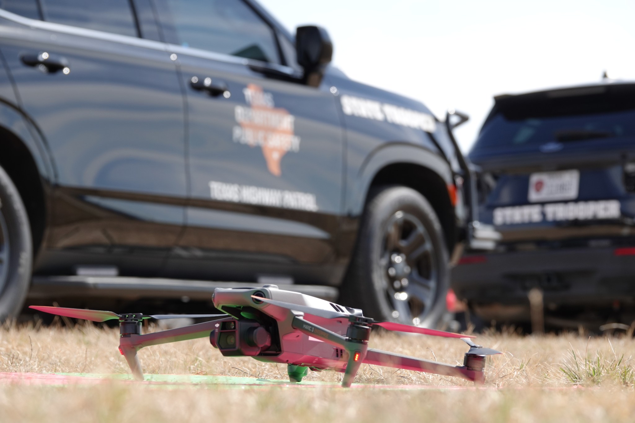
The February demonstration in North Texas wasn’t just a simulation—it was a live-fire test of future airspace protocols. Partnering with the Texas Department of Public Safety and police departments from Fort Worth, Arlington, and Irving, NASA orchestrated a series of coordinated emergency scenarios. When a public safety drone launched—whether for a search-and-rescue mission or a fire response—commercial drones in the vicinity automatically yielded right-of-way.

Using advanced software platforms from companies like DroneSense, ANRA Technologies, and Avision, the system dynamically rerouted non-essential drones, creating a temporary “priority corridor” for emergency operations. The coordination wasn’t just technical—it was procedural. Officials from different agencies communicated in real time to determine which drone had the highest urgency, ensuring that resources were allocated efficiently.
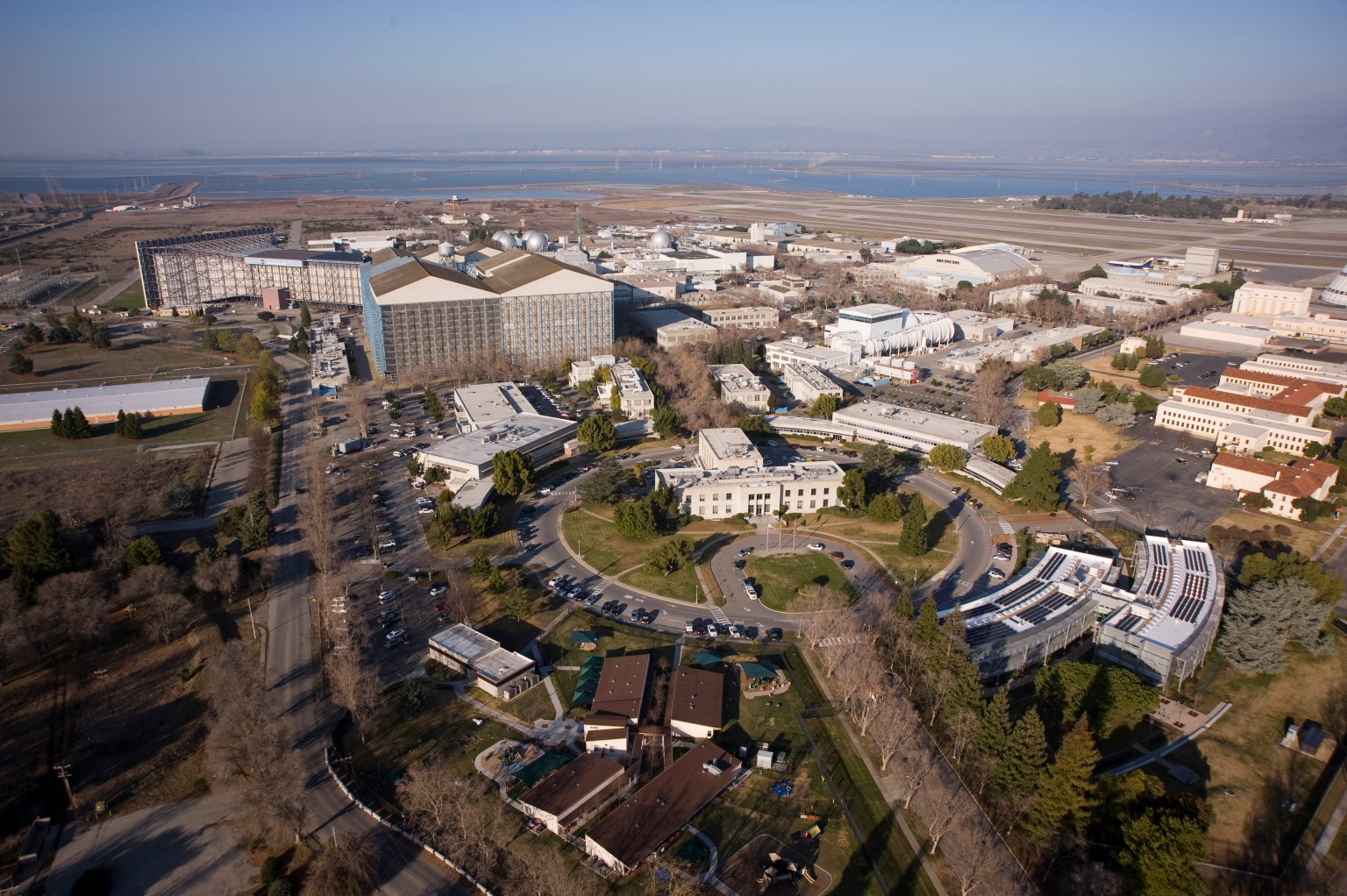
“This isn’t about giving first responders special treatment,” said Shivanjli Sharma, project manager at NASA Ames. “It’s about creating a system where safety is built into the fabric of drone operations. We’re laying the groundwork for a future where drones don’t just coexist—they cooperate.”
The success of the exercise marks a pivotal step toward scalable drone integration. It also highlights the importance of interoperability—ensuring that drones from different manufacturers and agencies can communicate using common protocols. Without this, the dream of a unified airspace remains out of reach.

The Technology Behind the Takeoff: How Priority Airspace Works
So, how does a drone know when to yield? The answer lies in a sophisticated blend of real-time data sharing, geofencing, and automated decision-making algorithms.
Each drone is equipped with a digital transponder that broadcasts its location, altitude, speed, and mission type. This data feeds into a central UTM platform, which acts like an air traffic control system for drones. When an emergency drone is activated, the system instantly identifies its flight path and broadcasts a “priority alert” to nearby drones.
Commercial drones equipped with sense-and-avoid technology then adjust their routes—either climbing, descending, or rerouting laterally—to create a safe buffer. The entire process happens in seconds, often without human intervention.
This level of automation is made possible by machine learning models trained on millions of flight scenarios. These models predict potential conflicts and optimize traffic flow in real time. NASA’s role has been to validate these systems, ensuring they meet rigorous safety standards before deployment in national airspace.
Why This Matters: The Human Impact of Faster Emergency Response
The stakes go far beyond technical innovation. Every second saved in an emergency can mean the difference between life and death. Consider this: the average response time for a ground-based ambulance in urban areas is 7 to 10 minutes. In rural regions, it can exceed 30 minutes. Drones, however, can reach remote or traffic-congested areas in a fraction of that time.
In 2023, a drone in Sweden delivered a defibrillator to a cardiac arrest patient 13 minutes faster than an ambulance could have arrived. The patient survived. Stories like this are no longer anomalies—they’re proof of concept.
NASA’s priority airspace initiative aims to replicate such successes at scale. By ensuring that medical supply drones, firefighting UAVs, and police surveillance units can operate without delay, the agency is helping build a future where emergency response is not just faster—but smarter.
The Road Ahead: Challenges and Opportunities
Despite the promise, significant hurdles remain. Regulatory frameworks are still catching up with technology. The FAA’s Part 107 rules, which govern commercial drone operations, are being updated, but gaps remain in BVLOS operations and night flying. Additionally, cybersecurity threats—such as drone hijacking or spoofing—pose serious risks to airspace integrity.
Public acceptance is another factor. While 68% of Americans support drone use for emergency services, concerns about privacy and noise persist. Transparent communication and community engagement will be essential as these systems roll out.
Still, the momentum is undeniable. NASA’s collaboration with industry and government is setting a global precedent. Countries like Japan, the UK, and Singapore are closely watching the U.S. model as they develop their own UTM systems.
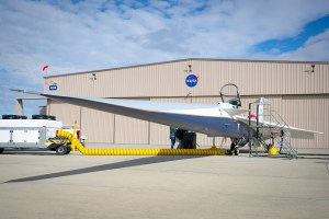
The X-59 QueSST aircraft, currently in development, will test quiet supersonic flight—potentially paving the way for faster emergency drones.
Drone delivery of medical supplies has reduced delivery times in Rwanda from 4 hours to just 15 minutes.
The global drone market is expected to reach $47 billion by 2026, driven by logistics and public safety demand.
NASA’s LAVA software, recently released to industry, helps simulate complex airspace scenarios to improve safety planning.
A Blueprint for the Skies of Tomorrow
NASA’s work in North Texas is more than a technical exercise—it’s a vision of the future. Just as highways have emergency lanes, and roads yield to sirens, the skies of tomorrow will need their own rules of the road. The agency’s efforts are laying the foundation for a world where drones don’t just fly—they collaborate.
As urban air mobility evolves, the lessons learned from this demonstration will inform policies, shape technology, and save lives. The dream isn’t just to fill the skies with drones, but to ensure that when the unexpected happens, the right drone gets there first.
In the end, it’s not about the machines—it’s about the people they serve. And with NASA at the helm, the future of flight looks not only possible, but profoundly human.
This article was curated from NASA Explores Prioritizing First Response Drones in Crowded Skies via NASA Breaking News